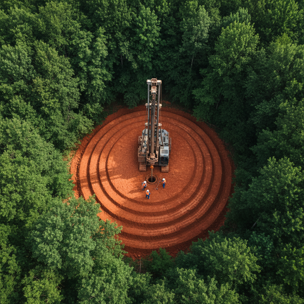
180 feet down.
Every inch documented.
Water wells, geotechnical borings, horizontal directional drilling, and monitoring wells — delivered to municipal spec, on schedule, with a driller's log for every foot.
Service Portfolio — 4 Disciplines
What We Drill.
What We Document.
Each engagement follows the same protocol: pre-drill site assessment, formation logging at every 5-foot interval, and a sealed deliverable package before we pull the rig.
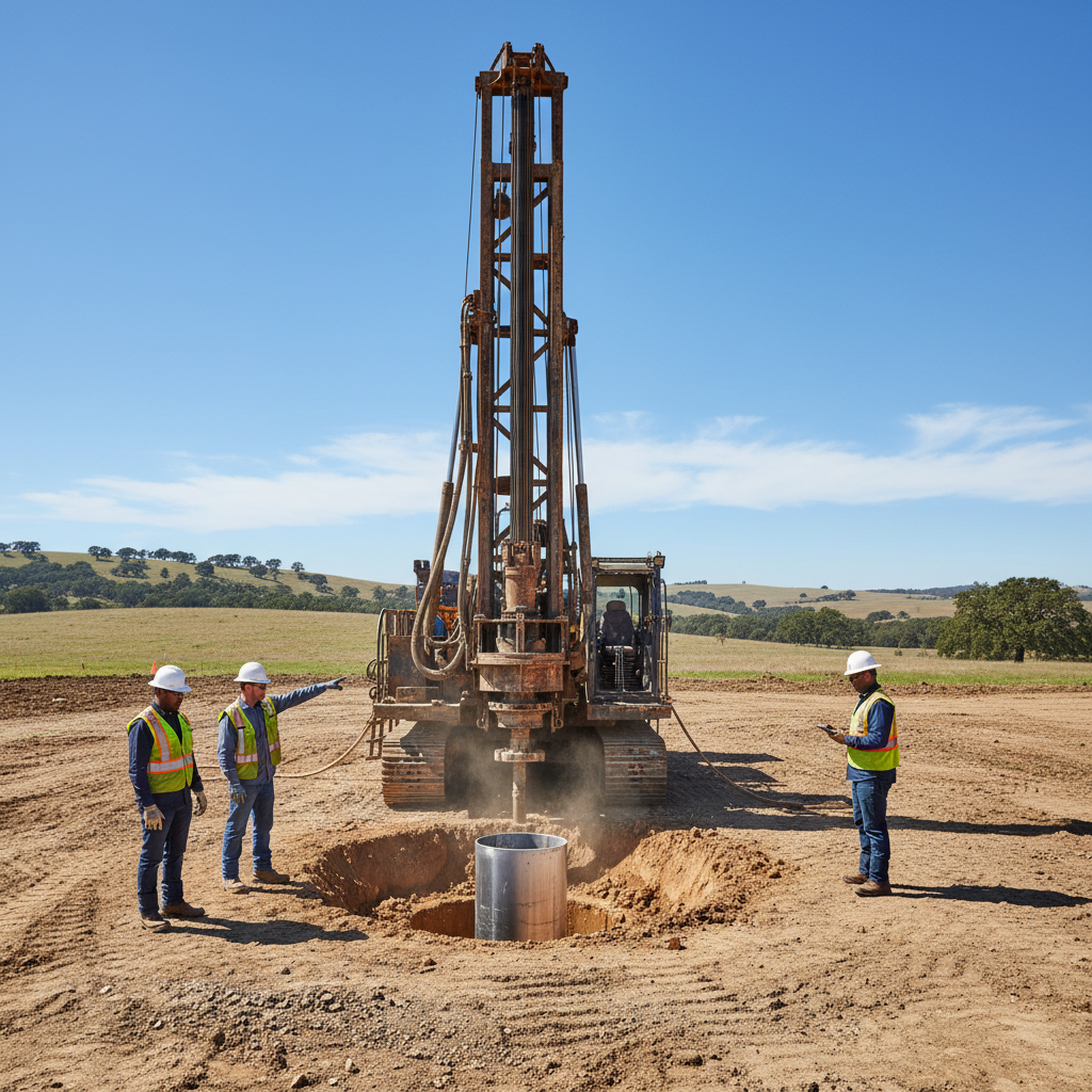
Water Well Drilling
Potable water infrastructure for rural districts and municipalities.
Reference Depth
480 ft
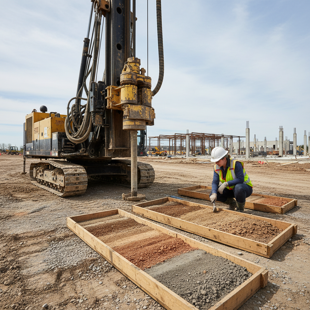
Geotechnical Investigation
Subsurface characterization before you break ground.
Reference Depth
185 ft
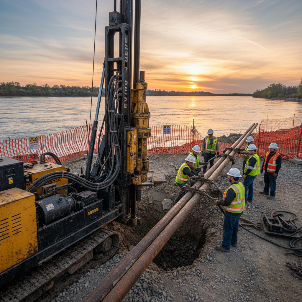
Horizontal Directional Drilling
Under rivers, highways, and rail — without disruption.
Reference Depth
1,850 ft bore
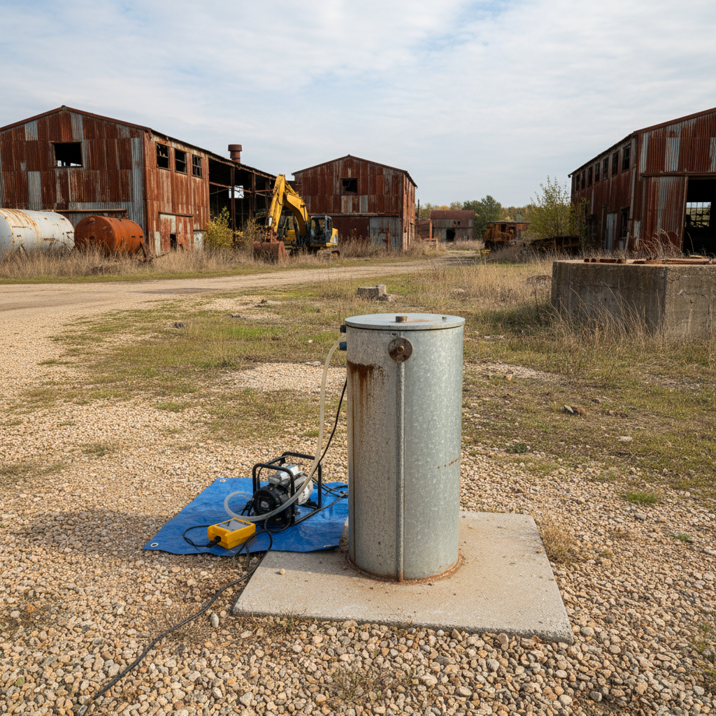
Environmental Monitoring Wells
Groundwater surveillance for remediation and compliance.
Reference Depth
85 ft
By The Numbers — Verified Field Data
The Driller's Log
doesn't lie.
Every figure below is pulled from our project database. No marketing estimates. These are the numbers from the field.
Maximum Recorded Depth
0 ft
Granite formation, Tillman County OK
Projects Completed
0+
Since 2009, all 50 states
States Licensed
0
Active drilling licenses
Avg. Bore Accuracy
0.0%
HDD centerline deviation < 1°
Formation Types
0
From alluvium to granite
Municipal Contracts
0
Active & completed
Rig Fleet
0
Rotary · DTH · HDD
Emergency Response
0 hr
Mobilization guarantee
Rig Fleet — Active Units
Field References — Verified Contacts Available
What the engineers
actually said.
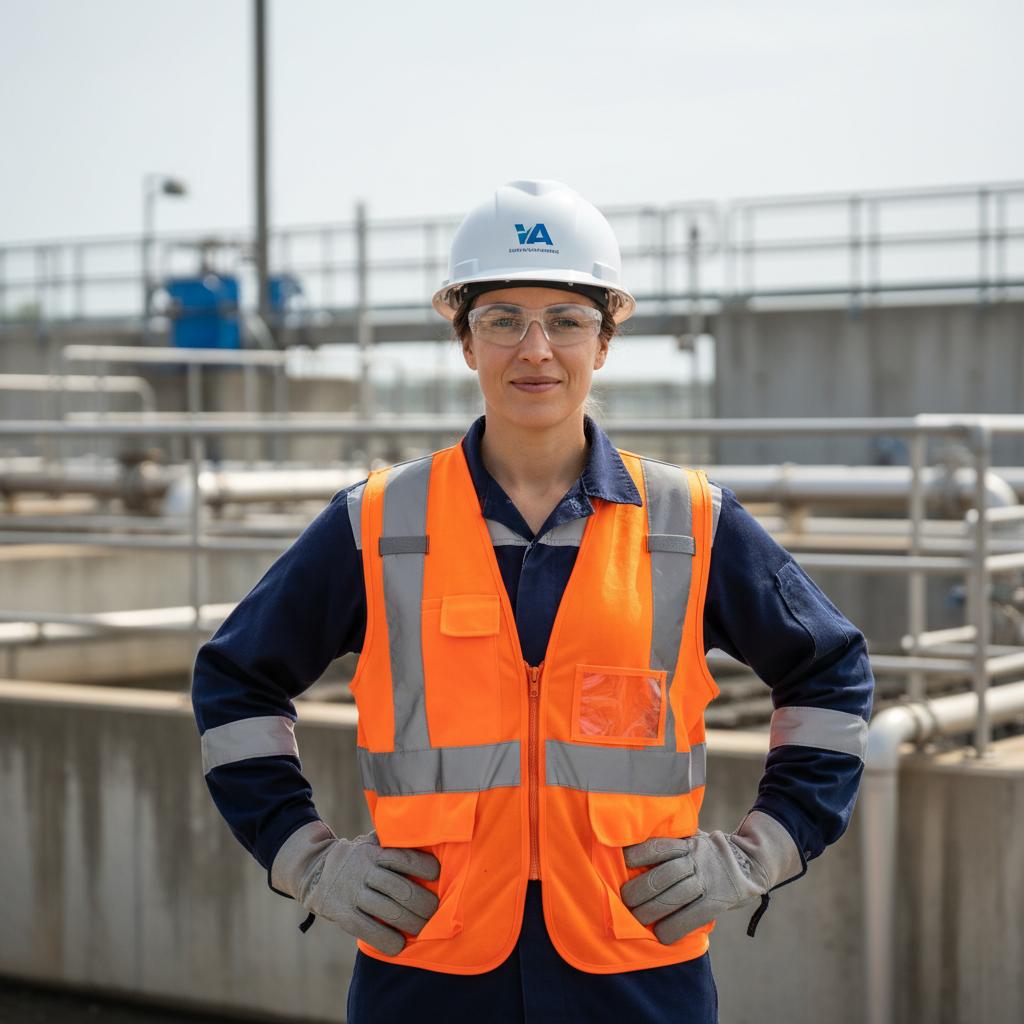
"Bore delivered all 12 production wells on schedule across three counties. Every boring log was formatted to our state submittal standards before we even asked. The Schramm T450W handled our caliche layers without a single delay. That's the kind of contractor you put on a standing agreement."
Patricia Okafor
Senior Water Resources Engineer
Southwestern Oklahoma Rural Water Authority
scope
12 Production Wells · 320–480 ft depth
formation
Caliche · Red Bed Sandstone · Permian Dolomite
yield
Avg. 185 GPM per well
duration
14 weeks · 3 counties

"We needed 47 geotechnical borings across a 2.3-mile transit corridor in 22 working days. Bore ran three CME-75s simultaneously, handed us complete USCS-classified logs within 48 hours of each boring, and their HDD crew pre-threaded our utility conduit under the Platte River without a single mud return. No other contractor in the region could have pulled that off."
Marcus Delgado
VP Field Operations
Meridian Infrastructure Group — Denver, CO
scope
47 Geotechnical Borings + 1 HDD River Crossing
formation
Alluvium · Denver Formation · Pierre Shale
bore
36" steel casing · 1,240 ft crossing
duration
22 working days
Past & Current Clients
Project Intake — Response Within 4 Business Hours
Start with a
Bore Plan.
Tell us where you're drilling and how deep. We'll send back a preliminary scope, rig recommendation, and timeline within one business day — no obligation.
Emergency Mobilization
48-hour rig mobilization for urgent municipal water failures and infrastructure emergencies.